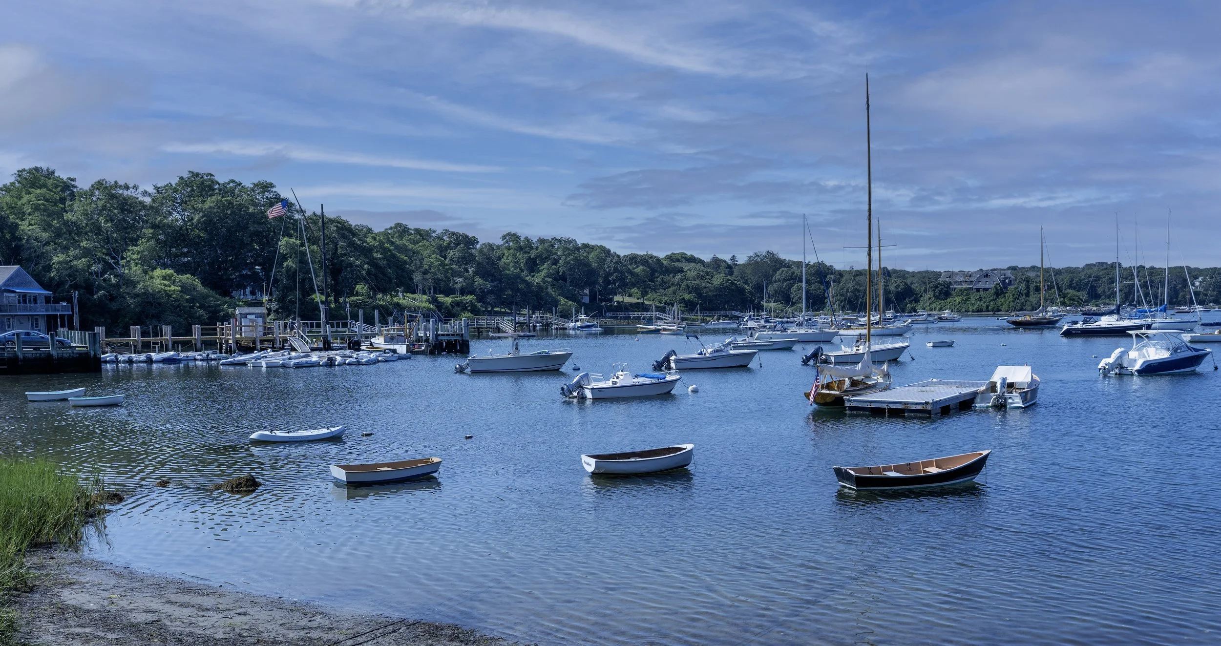
Quissett Harbor
Additional Resources
The tide is of fundamental importance to boaters, riparian homeowners and coastal communities like our own. The National Oceanic and Atmospheric Administration (NOAA) has long operated tide and meteorological stations at sites along the coast, and provides daily and long-term data sets. However, the tide at individual harbors can be strongly affected by coastal geometry and complex interactions with adjacent waterbodies.
For example, the Woods Hole tide gauge, operated in Woods Hole Passage since 1932 and only two miles from Quissett Harbor, displays a very different pattern of high- and low- tides (both amplitude and timing) from other NOAA stations in Buzzards Bay. To clarify tidal and sea level issues for our community, we decided to establish a special tide gauge in Quissett Harbor to aid in local coastal planning and management.
The data from the Quissett Harbor tide gauge is reported telemetrically to Hohonu, Inc., a private, data-centric flood intelligence platform that has monitoring stations across the country.
In 2023 the Sippewissett Association partnered with Quissett groups to install a tide gauge in Quissett Harbor to give real-time data on tide levels and to record flooding events on neighborhood roads and beaches. It is mounted on a private dock in Quissett Harbor and is part of the Hohonu network of monitors.
Access to the data is through the TideCast app, available through the Hohonu platform:
https://www.hohonu.io/platform
Or, you can directly access the data for the Quissett Harbor tide gauge with this link:
https://dashboard.hohonu.io/map-page/f9661052-0fb9-43af-be42-ca72b330c65a/QuissettHarbor,MA
Hononu reports that in 2025 the data gathered was used in a variety of ways:
Networks of Hohonu stations across 18 states are informing exactly when and where water is rising during storms. That has helped emergency managers pre-close low spots, monitor critical culverts and bridges, and communicate with residents using real data instead of guesswork.
Coastal resilience teams are pairing tide forecasts with Hohonu sensors to see which streets actually flood at which tide levels. In our case, Quissett Harbor Road and the Woodneck Beach parking lot are especially vulnerable to flooding. Engineering firms and DOT/stormwater teams are using Hohonu stations to ground-truth models, prioritize drainage and roadway upgrades, and track how projects perform over time.Teams can now point to measured water levels at specific sites rather than guessing and estimating.